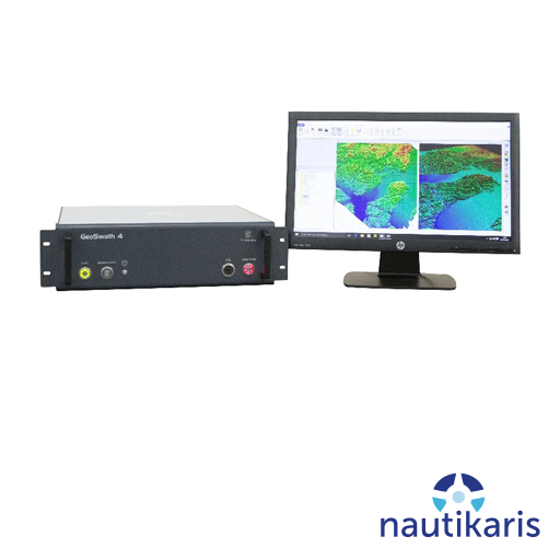
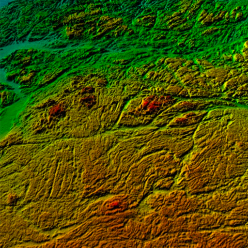

GeoSwath 4 3D Interferometric Sonar offers the industry’s most efficient simultaneous swath bathymetry and side scan seabed map-ping system for shallow waters. Bathymetry data accuracies have been shown to exceed the IHO Standards for Hydrographic Surveys, while providing seafloor coverage of up to 12 times the water depth and data from nadir to the waterline.
Description
The specifically developed GS4 acquisition and processing software included with the system delivers automatically cleaned data in real time.
System Components
The GeoSwath 4 turn-key solution comprises a compact dual transducer head as standard with versatile mounting options. The newly developed deck unit contains the complete sonar electronics together with a high spec PC, running the new GS4 software. This provides full acquisition, calibration and data processing capabilities for producing the final bathymetry map and side scan mosaic. All customary ancillary sensors can be directly interfaced.
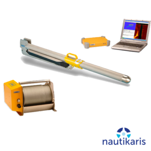
Dual sonar head
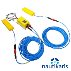
The transducers are available in a choice of three frequencies: 125, 250, 500 kHz, varying in depth performance and data resolution depending on the survey task. A wide range of motion reference units (MRU) and sound velocity sensors (SVS) can be mounted on the compact head. This has been designed for easy deployment on a supplied pole for over-the side or bow-mount options. Alternatively the transducers can be deployed on bespoke boat hull installations. as well as USV assemblies.
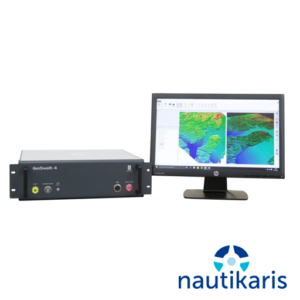
Deck Unit
The workstation contains the complete system electronics. It has been newly designed for increased performance in a more compact housing. It offers twice the data density compared to its previous versions and increased nadir performance. All peripheral sensors (position, motion, heading, transducer face sound velocity, sound velocity profiler and tide) are interfaced directly.
GS4 Software
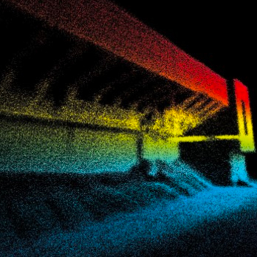
The GS4 software has been specifically designed for the new GeoSwath 4. It is included with the system and provides a complete project based solution; acquisition, storing and editing of sonar and ancillary data, grid-based patch test calibration, data processing, advanced bathymetry data gridding, side scan mosaicing and 3D data visualisation. Newly developed filter algorithms provide real time processed data with minimum user intervention even in difficult survey situations involving vertical structures, shipwrecks and steep seabed slopes.