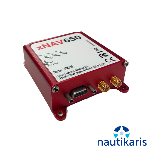
The xNAV650 is OxTS’ smallest and lightest Inertial Navigation System (INS) yet. The device makes use of the latest cutting edge technology, to deliver the precision and reliability OxTS’ customers have come to expect.
Despite combining the latest MEMS inertial sensor technology with survey-grade GNSS receivers, the xNAV650 INS is also our most competitively priced INS to date.
The xNAV650 provides surveyors with reliable and precise navigation data – even when budgets are limited.
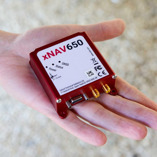
- Measuring only 77 x 63 x 24 mm the xNAV650 is our smallest INS to date. Its small form factor is ideal for any application where space is limited making it ideal for UAV-based mapping.
- When weight is a factor look no further than the xNAV650 INS. Weighing just 130 g, the xNAV650 is the ideal partner when precision is crucial, but the payload needs to be as light as possible. A lighter payload and lower power consumption means longer flight times for UAVs.
- Quad constellation (GPS, GLONASS, BeiDou and Galileo) as standard means that users of the xNAV650 INS can benefit from 2 cm position accuracy even in the most challenging GNSS environments.
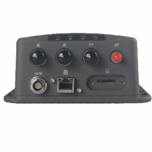
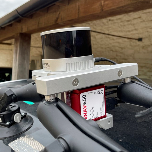
- The xNAV650 INS benefits from optional Precision Time Protocol (PTP) time stamping functionality. All xNAV650 INS devices have the option to utilise PTP when synchronising time with LiDAR and other sensors that also utilise the feature. PTP allows for a much simpler set-up over ethernet, providing surveyors with the ability to get up and running quickly.
- OxTS’ gx/ix tight-coupling technology ensures that users of OxTS inertial navigation systems receive the most accurate measurements possible even in tough GNSS conditions such as urban canyons.
- OxTS Georeferencer allows users of OxTS’ inertial navigation systems to georeference pointclouds from almost any LiDAR sensor. By combining OxTS INS data with raw LiDAR data using OxTS Georeferencer, users can increase the quality of their pointclouds, decrease the time to survey, intelligently analyse data and improve project ROI.