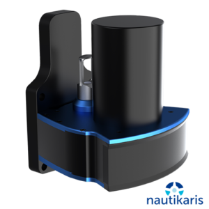
The HYPACK® LiDAR Payload is a complete, portable topographic LiDAR surveying solution with HYPACK® MAX and HYSWEEP® for data collection and processing. Our Payload is platform agnostic and robust; with an IP67-rated enclosure, the Payload is suited for use on aerial, ground and marine vessels or in any surveying environment. We tightly integrate LiDAR and GNSS sensors through our HYPACK software, providing accurate data easily and quickly. Our budget-friendly, end-to-end solution fulfills your LiDAR surveying needs from survey planning to data post-processing.

Hydrographic Survey software, HYDROGRAPHIC SYSTEMS
The HYPACK LiDAR Payload
KEY CAPABILITIES WHAT THE PAYLOAD INCLUDES
• Velodyne VLP-16 LiDAR unit
• Onboard rechargeable power supply with 3 hours run time
• SBG Ellipse-D INS with integrated dual-antenna survey-grade RTK GNSS receiver
• Onboard computer running Windows 10 included with a HYPACK MAX & HYSWEEP license
• Pre-calibrated, ready to survey • Real-time image and point cloud viewing
• Can be mounted on any vehicle platform including UAV’s
• Fully contained LiDAR data collection unit with GNSS-aided inertial navigation
Gerelateerde producten
-
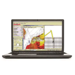
 Hydrographic Survey software
Hypack MAX
-
 Hydrographic Survey software
Dredgepack
-
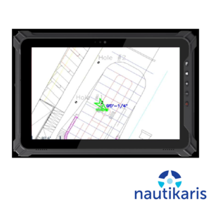 HYDROGRAPHIC SYSTEMS
iQ Tablet NTRIP
-
 HYDROGRAPHIC SYSTEMS
Baywei M2 & M5