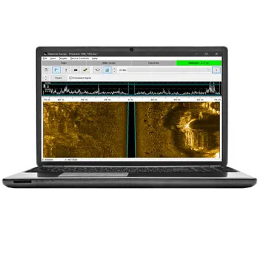
Hydrographic Survey software, HYDROGRAPHIC SYSTEMS
HYPACK® GEOPHYSICS
HYPACK® GEOPHYSICS supports the collection and processing of geophysical survey data.
Three common geophysical survey devices are supported:
Magnetometers, side scan sonars, and sub-bottom profilers.
HYPACK® GEOPHYSICS enables collating and comparing data from these devices in one interface.
FEATURES BENEFITS
• Survey planning and navigation support
• Support for popular ASV/USV interfaces (MAVLink, SeaRobotics)
• Side Scan data collection, targeting, and mosaic tools
• Sub-Bottom collection and analysis tools to digitize layers
• Magnetometer support to collect, target, and create contours
• Simple and cost-effective solution
• HYPACK® GEOPHYSICS can be upgraded to HYPACK® MAX
• Call Nautikaris technical support for more info.
Gerelateerde producten
-
 HYDROGRAPHIC SYSTEMS
iQ Guardian
-
 HYDROGRAPHIC SYSTEMS
Castaway-CTD
-
 HYDROGRAPHIC SYSTEMS
Omex SonarMite v5 Echo Sounder
-
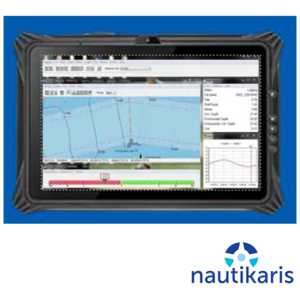 HYDROGRAPHIC SYSTEMS
iQ Tablet Pro